General Question

Catnip5's avatar

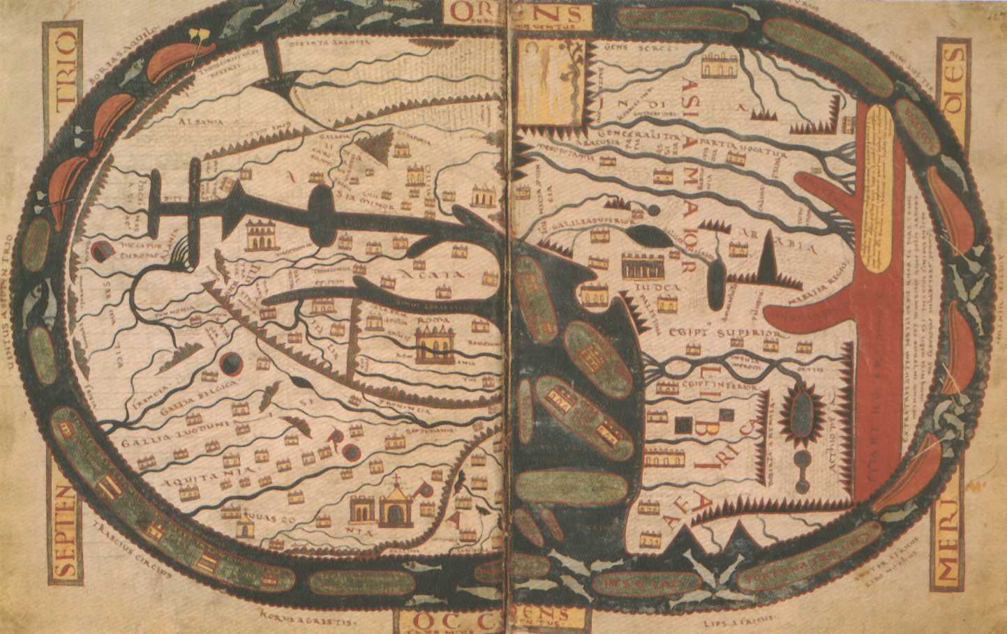
How do early geographers and mapmakers even know what earth looked like prior to the 20th century?

Asked by Catnip5 (345points) September 8th, 2017

Before photography, advance technology, rockets, satellites, and such took place? This thought somewhat occur to me as I’ve been reading about several histories related to trades, explorations, and expeditions featuring some early maps related to those events. Some mapmakers even came relatively close to being accurate about the depiction of earth. Even during times when people thought the world was flat. For example, the map of Christopher Columbus’ expedition and exploration. How would early geographers and mapmakers around that point know how to depict continents, like North America and such, which no one from their community has ever visited before, or without physically leaving the planet during that time?

(Yeah, I know Columbus was never the first to discover The Americas. That one is just an elaboration I want to pull to address my point further.)

Another notable example is how the maps made to locate Terra Australis, a proposed continent that’s akin to tracking down El Dorado, were designed in the 16th century.

Cartography seems like an interesting subject and I don’t really know too much of the field, unless I could gain more elaboration from this.

Observing members: 0 Composing members: 0

11 Answers

elbanditoroso's avatar

Sextants, chains, mapmakers, and a lot of observation. Ships like Columbus’s and Vespucii’s carried surveyors and cartographers.

Espiritus_Corvus's avatar

All the above plus Mathematics going as far back as the Pheonicians and beyond. Sailors knew long before other people.

Zaku's avatar

Once people had the cosmology and astrology figured out, and could measure the positions of stars to determine at least how far north they were with clear enough skies (by seeing where the stars and sun are, and knowing that the earth goes around the sun and rotates around its pole and is tilted relative to its orbit around the sun), they could start making much more accurate maps based on being fairly clear about where they were on the globe. Longitude (east/west) can also be figured from a known location if you have a good clock and/or tables of information about where to expect the sun & stars to be.

Before such things, maps were not much like later ones.

ragingloli's avatar

If you can measure your speed and direction, and stay close to the coast, you can trace the coast line quite easily.

Espiritus_Corvus's avatar

^^That’s called Dead Reckoning. Sailing long distances out of sight of land for days and weeks, and still be able to hit your mark was the trick. That science is ancient and it couldn’t happen if one first didn’t accept that the earth was round, or egg-shaped, regardless of the superstitions of religious leaders. It enabled trade, money to change hands, and that trumps religion every time. So, amongst sailors, it was kept as a special knowledge, trade secrets, handed down to trusted men dedicated to that secret knowledge in order to not land in prison and because of this it is very difficult for historians to determine how old that science is.

The history of Navigation

Celestial Navigaton

Catnip5's avatar

Thanks, everyone!

Those are all good and useful answers. It seems to take a bit of evolving science, many kinds of sciences I should say, and research to figure out any physical locations and directions on earth. :)

elbanditoroso's avatar

@Espiritus_Corvus – your second set of links are interesting for a discussion of navigation today – but the OP’s question was more about how they did this 500 or more years ago. That’s where the sextants (and your link to Celestial Navigation) was more on point.

I have a friend who takes great pride in knowing how to use a sextant, even in the 21st century.

Espiritus_Corvus's avatar

^^Yeah, knowing how to use a sextant with ease carries a lot of weight amongst sail bums like myself. It helps to remember some basic algebra, and trig comes in handy when charting and holding a track while compensating for wind, current and the curvature of the earth. I have no broadband at the moment due to Irma and Jose, so I was unable to open the two basic navigation pages that I posted.

Basic Nav used to involve the old way of doing things, with loadstone and knotted line, but the basic formulas have been the same since at least the time of Pythagoras. I suppose now it’s all about how to operate a GPS with auto tracking, I dunno. It was my intention to connect the OP with that information so they might gain an understanding of how offshore, long distance, blue water sailing was possible in ancient times.

LOL. Once in Sweden, I actually saw an orienteering compass with 400° marked on it, instead of the standard 360°, in order to make the arithmetic easier for its user. Oh, well. Times, tech and people change.

For insurance purposes, when out at sea with paying passengers, I must use a plethora of electronics onboard. But when it is just me and the first mate, or when I’m out solo, I sail like they did in the 1890s, with compass, sextant, celestial bodies, with a trained eye for weather, wind and current, pencil and paper, hard-copy charts, charting compass, protractor and clock in order not to lose those hard-earned skills. I time my jibes and tacks to the minute, just like old Joshua Slocum did. That’s the way to sail.

LOL. And just like Captain Slocum and sailors from the beginning of time, you get there when you get there.

Strauss's avatar

@Espiritus_Corvus loadstone should be lodestone. Just sayin’!

Espiritus_Corvus's avatar

^^LOL. You got me, minstrel.

Answer this question

Login

or

Join

to answer.

This question is in the General Section. Responses must be helpful and on-topic.

Your answer will be saved while you login or join.

Have a question? Ask Fluther!

What do you know more about?
or
Knowledge Networking @ Fluther